Caliche Soil and Block Walls in Maricopa County, AZ
Caliche gets blamed for every cracked wall in the East Valley. Under most of Queen Creek, the USDA maps something else. Here is what the soil data shows, where caliche-type layers do appear, and how to check your own lot.
Get a Free QuoteCaliche, Briefly
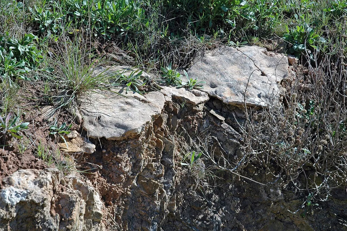
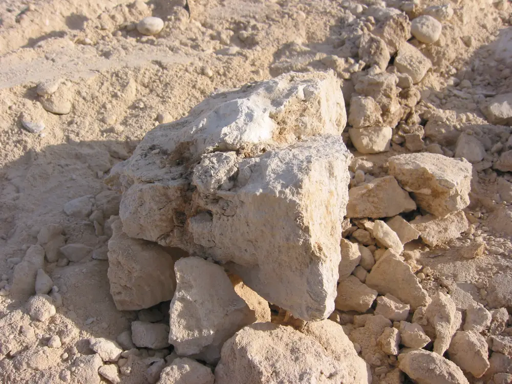
The University of Arizona Cooperative Extension describes caliche as a soil layer whose particles are cemented together by calcium carbonate. It can show up as scattered light-colored lumps or as a solid layer from a few inches to several feet thick, ranging from fairly loose to rock-hard. Hard layers block water, which is why they matter under a footing.
The same publication makes a point that rarely appears in contractor marketing: not all desert soils have caliche. Whether it forms depends on rainfall, how water soaks in, and how the soil drains. That is the key to understanding Queen Creek.
What the USDA Maps Under Queen Creek
Queen Creek is covered by the USDA's Eastern Maricopa and Northern Pinal Counties Area soil survey. Looking up familiar Queen Creek landmarks in that survey gives a consistent answer:
| Location | Mapped Soil | What It Means |
|---|---|---|
| Town Hall and Founders Park (Ellsworth Road) | Gilman fine sandy loam, 0 to 2% slopes | Alluvial, no mapped calcic layer |
| Horseshoe Park (Riggs Road) | Gilman loam | Alluvial, no mapped calcic layer |
| Mansel Carter Oasis Park (Ocotillo Road) | Gilman loam | Alluvial, no mapped calcic layer |
| Schnepf Farms (Rittenhouse Road) | Gilman fine sandy loam, 0 to 2% slopes | Alluvial, no mapped calcic layer |
| Queen Creek High School (Ocotillo Road) | Agualt loam | Loam over sand and gravel |
Gilman is a stratified stream deposit laid down on floodplains and fans. Its official series description calls it well drained with moderate permeability, and lists irrigated cotton, alfalfa and vegetables among its uses, which fits a town whose homesteaders farmed along Queen Creek Wash. Gilman is calcareous: it fizzes in acid and carries thin threads of calcium carbonate below the surface. What it does not have, in the survey data, is a calcic or cemented horizon within the top 60 inches. Across a box covering most of the town, Gilman map units account for roughly two thirds of the mapped area, with Antho and Vint, two more young alluvial soils, making up much of the rest.
In practice that means many Queen Creek footings sit in soft-to-firm loam and sandy loam rather than on a hard shelf. The risk changes shape. Instead of a footing perched on a layer that water cannot pass, the common concern is soil that loosens when it stays wet, from sprinklers, roof runoff, or monsoon water following the old wash paths.
Where Calcic Soils Do Appear
Caliche-type layers are not absent from the area, just less common than the stereotype. The same survey maps calcic soils in smaller patches, mostly toward the northeast corner around Signal Butte and Meridian roads and along the southern fringe toward the San Tan Mountains:
- Mohall loam and clay loam. A fan-terrace soil whose series description places the calcic horizon 20 to 40 inches down, made of soft carbonate masses rather than solid rock.
- Contine clay loam. A heavier clay classified in part as vertic, meaning it can shrink and swell, with a calcic layer below.
- Tremant gravelly loam. A gravelly fan soil, classified in part with a calcic layer, mapped in small areas on the south side. Laveen and Rillito, two more lime-rich soils, appear in the wider survey area around the town.
Soil surveys are drawn at a broad scale and every subdivision was graded before homes went up, so a lot mapped as Gilman can still contain imported fill, an old ditch line, or a lens of harder material. The map tells you what to expect. A test hole tells you what you have.
What This Means for a Wall Footing
The Town of Queen Creek's standard 6-inch masonry fence wall detail uses a footing 2 feet wide and 8 inches thick, with its top roughly 8 inches below grade and one continuous #4 bar. Its 4-inch interlocking detail lists the assumptions behind it, including 1,000 psf allowable soil bearing, and states that using other design parameters requires a geotechnical report and design calculations before permit approval. Those details also say they may be used at the owner's risk as minimum designs.
So the useful question for a Queen Creek lot is not "how deep is the caliche" but "does the soil at footing depth match what the detail assumes". Firm, undisturbed loam usually does. Loose fill, a soft wet zone, expansive clay, or a hard calcic layer that stops the trench early are the conditions that call for a deeper or wider footing, a different detail, or an engineer.
Checking Your Own Lot
Look up the map unit in Web Soil Survey
Ask for a test hole at the wall line
Ask which Town detail the footing follows
Ask where the water will go
- University of Arizona Cooperative Extension: Managing Caliche in the Home Yard (AZ1281)
- USDA Web Soil Survey (Eastern Maricopa and Northern Pinal Counties Area)
- USDA NRCS: Gilman soil series description
- USDA NRCS: Mohall soil series description
- Town of Queen Creek: Fencing Requirements and standard wall details
Related Guides and Services
Ask for a test hole and a footing plan that matches the soil actually found on your lot.
Get a Free Estimate